
About Wendell, MA
Demographics
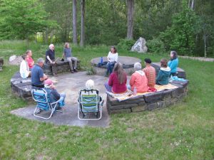
People
Wendell Population (2019): 901
Total Households: 378
Average household size: 2.14; Average Family Size: 3
Population density: 28/ sq mile
Diversity Index: 18 *
* The Diversity Index is a scale of 0 to 100 that represents the likelyhood that two persons, chosen at random from the same area, belong to different race or ethnic groups. If an area's entire population belongs to one race AND one ethnic group, then the area has zero diversity. An area's diversity index increases to 100 when the population is evenly divided into two or more race/ethnic groups.
Housing
Total Housing Units: 436 (100%)
Owner Occupied HU: 328 (75.2%)
Renter Occupied HU: 50 (11.5%)
Vacant Housing Units: 58 (13.3%)
Median Home Value: $234,559
Average Home Value: $361,128
Income
Median Household Income: $46,128
Average Household Income: $62,680
Per Capita Income: $29,151
Geography
Total Area 32 square miles of land (and .22 square miles of water)
The Millers River runs along the entire northern boundary, separating Wendell from Erving. Other abutting towns are Montague, New Salem, Orange, Shutesbury, and Warwick.
The peaceful town center is built on a hill, falling away in all directions.
Latitude 42° 32" 54' N Longitude 72° 23" 50' W
Population 860 Adults (2008) Population Density 27 per square mile
Elevation 1,164 feet above sea level
Average temperature January: 18.8° Fahrenheit -- July: 69.6° Fahrenheit.
Average Precipitation 46.1"
North Quabbin Chamber of Commerce writes:
"A drive through the mostly forested roads of Wendell reveals an eclectic range and style of homes, from the historic to the offbeat."